about Cartes IGN
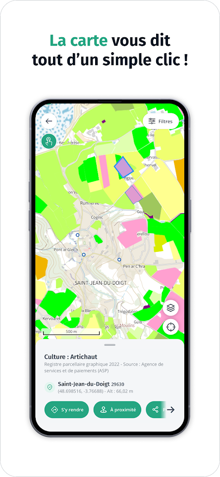
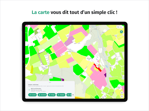
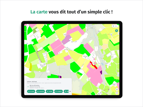
Good plan ! Click on the interactive map to obtain additional information on French territory such as the characteristics of a building or the type of cultivation of a field.
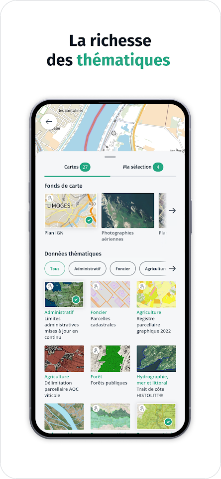
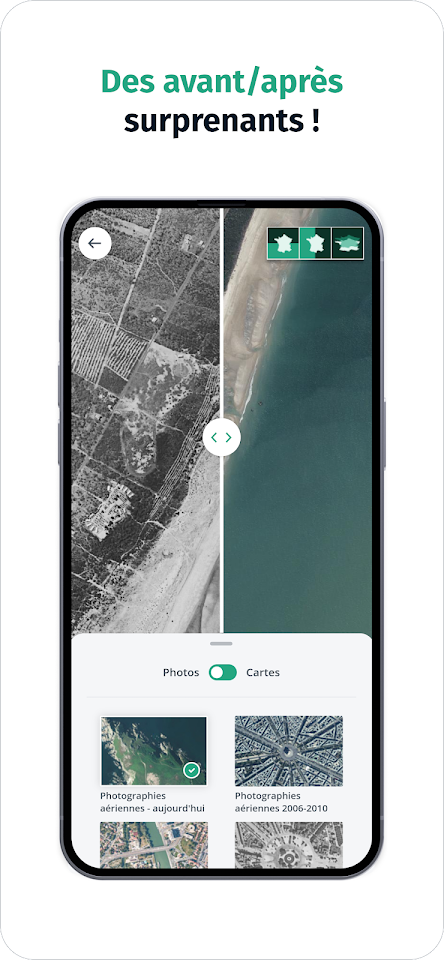
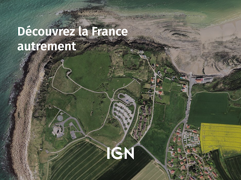
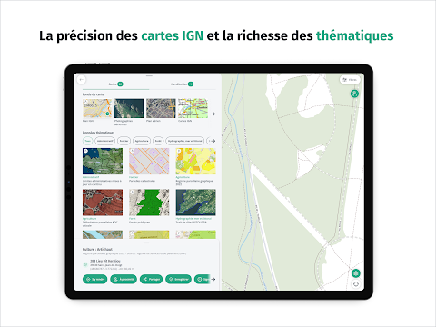
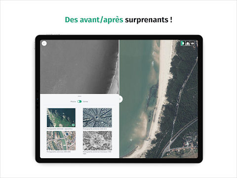
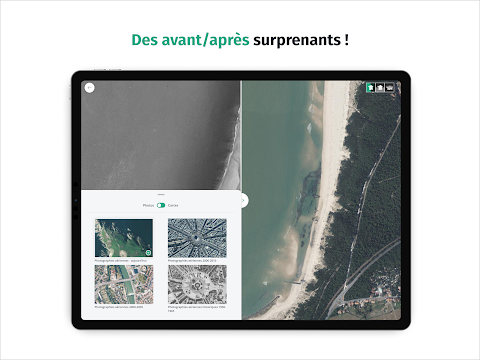
Fly over France and observe the evolution of French landscapes in times of climate change by comparing, like a geographer, IGN maps or aerial photographs from different eras. Seen from the sky, the mark of man on the territory is surprising!
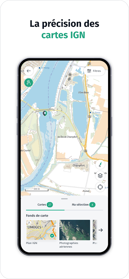
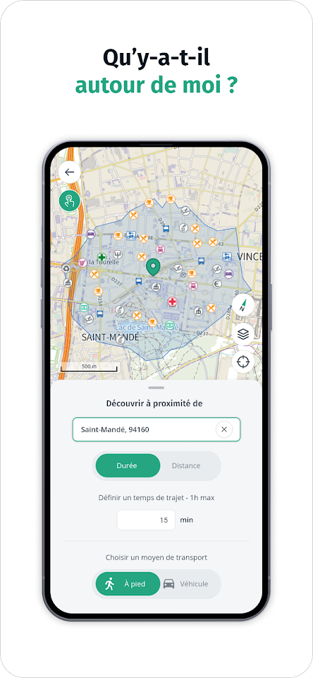
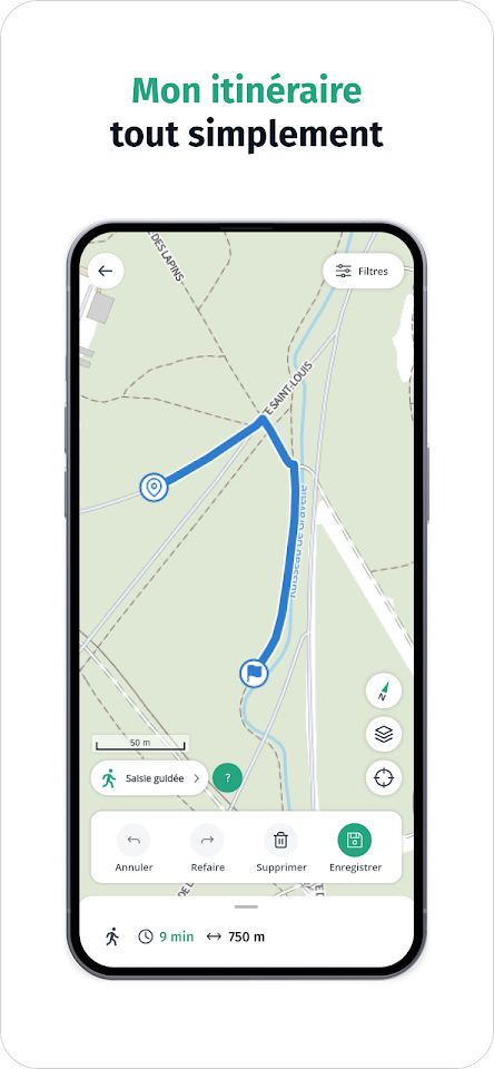
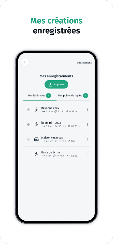
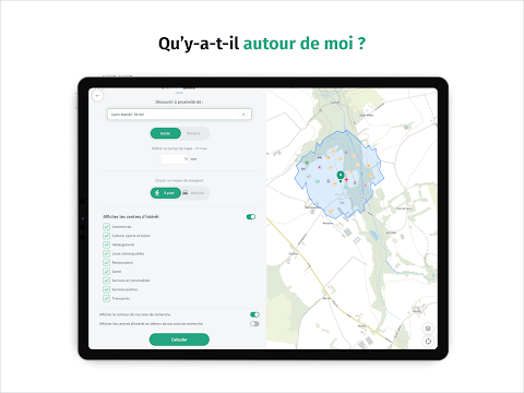
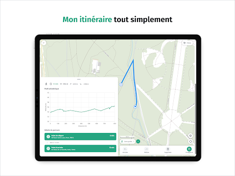
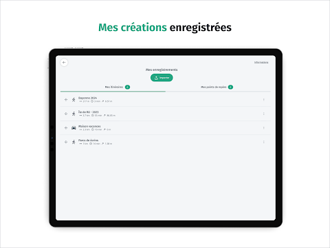
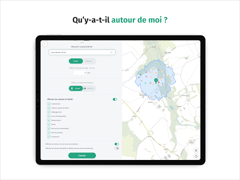
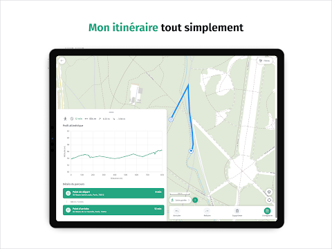
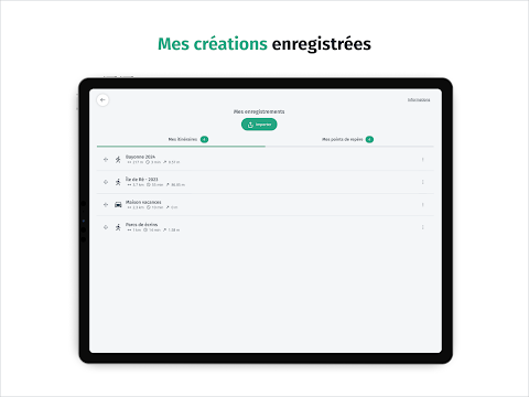
Discover points of interest around you thanks to IGN Maps, a mapping application for everyone, easy to use, which also offers all the practical tools to get around without being tracked: calculate a route, trace a route, create and save a landmark, display your position and share it with loved ones…
Set off to discover the French territory with IGN Maps!

