about 2GIS
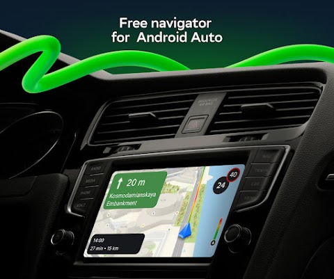
2GIS is a powerful navigation software. Relying on the powerful GPS, users can realize the accurate finding of places and routes. 2gis map supports offline download. Choose the city map you want to use offline, download all the information and you can use it easily. We have prepared perfect bus and subway schedules and route maps for the city. Real-time traffic routes let you know the routes in advance while driving to avoid speeding and fines. Traveling and playing can also use 2GIS to help you find nearby supermarkets, hotels, and entertainment places.
2GIS functionality:
- Easily find addresses, companies, phone numbers, hours of operation, goods or services;
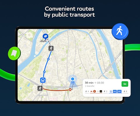
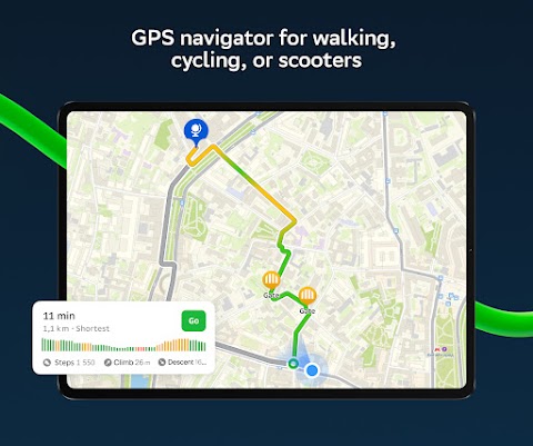
- Find out how to get to your destination by car, bus, subway, or by following your navigator on foot;
- Find nearby building entrances and parking lots.
2GIS Benefits:
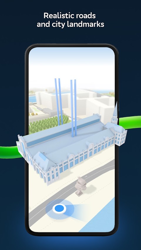
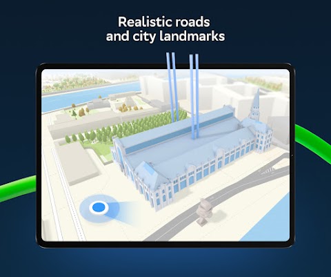
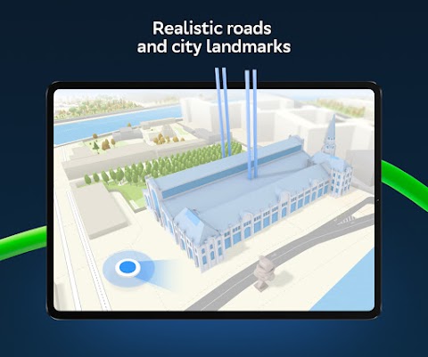
- Accurate maps. Locate areas, buildings, streets, bus stops, subway stations, gas stations, sports fields and other objects.
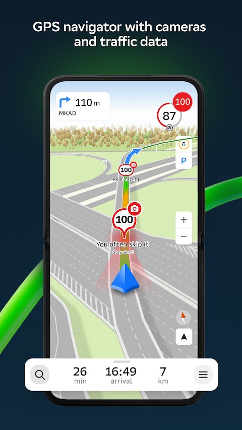
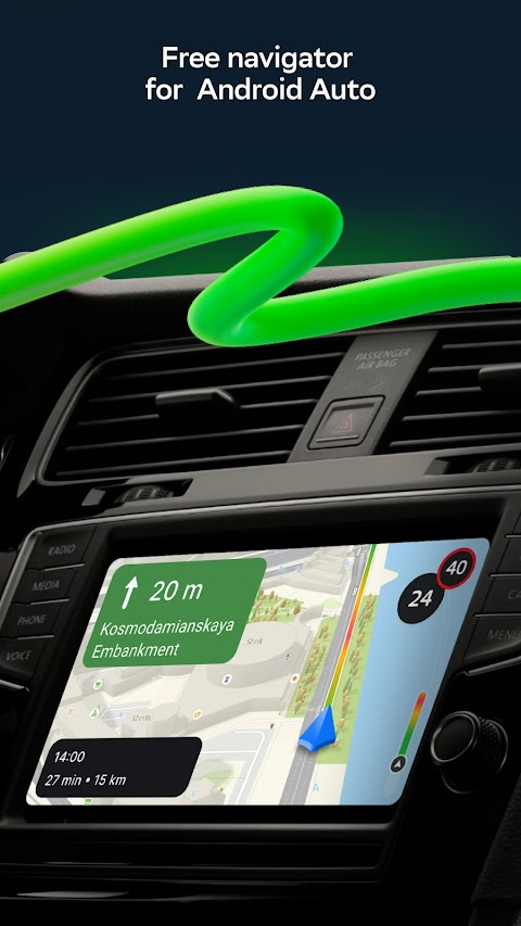
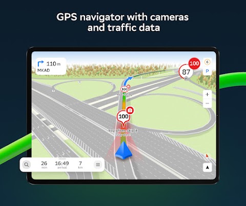
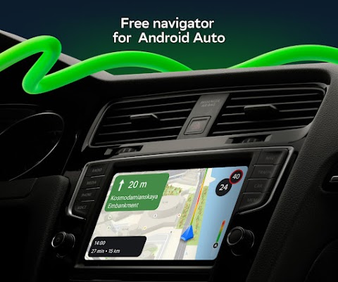
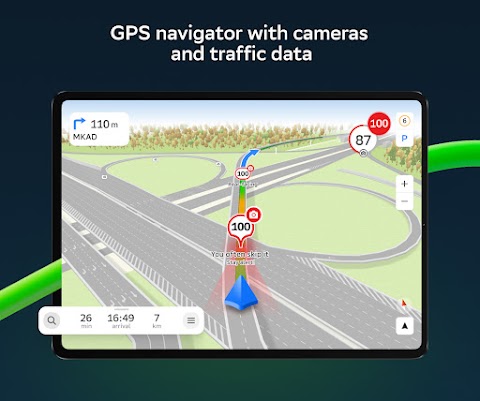
- GPS Navigation. Consider real-time traffic congestion, signs, speed cameras, toll roads, and unpaved roads to create routes between cities and - through multiple points.
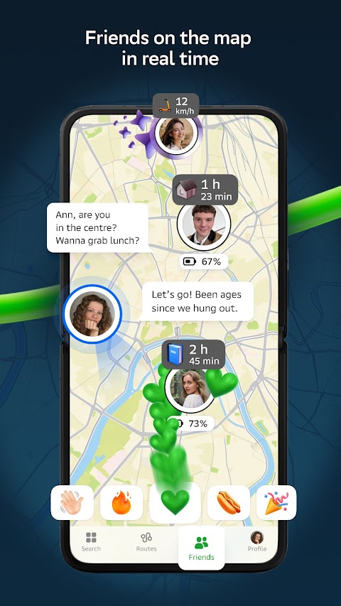
- 2GIS supports sharing real-time location with friends. Find your kids or friends on the map and keep them safe with GPS location tracking. You can send funny stickers and see battery-level information. You can decide who to add as friends and with whom to share your location. Manage sharing settings as needed.
- Road Incidents. Accident reports, blocked streets, speed cameras, user reviews - everything is on the map.
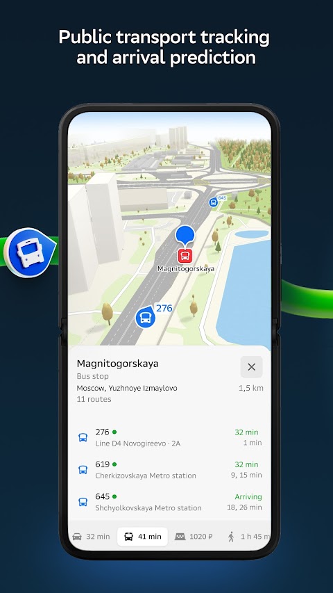
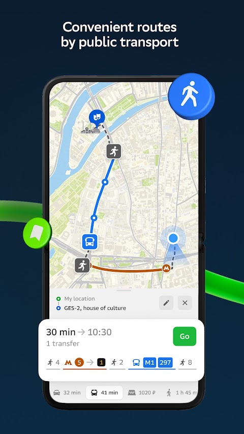
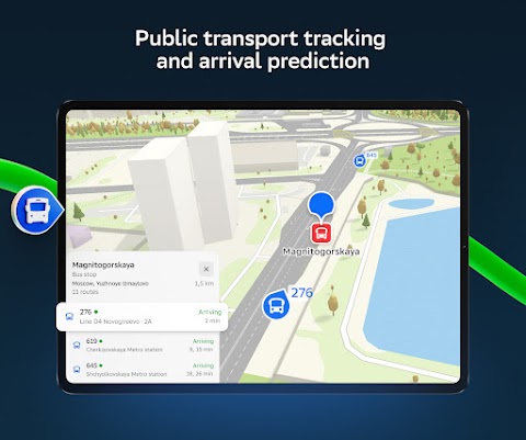
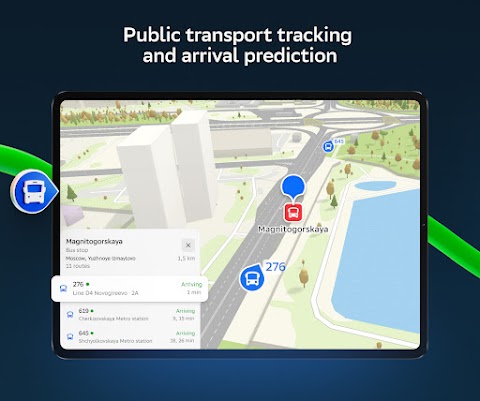
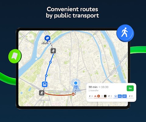
- Public Transportation. 2GIS Learn about public transportation schedules and online routes.
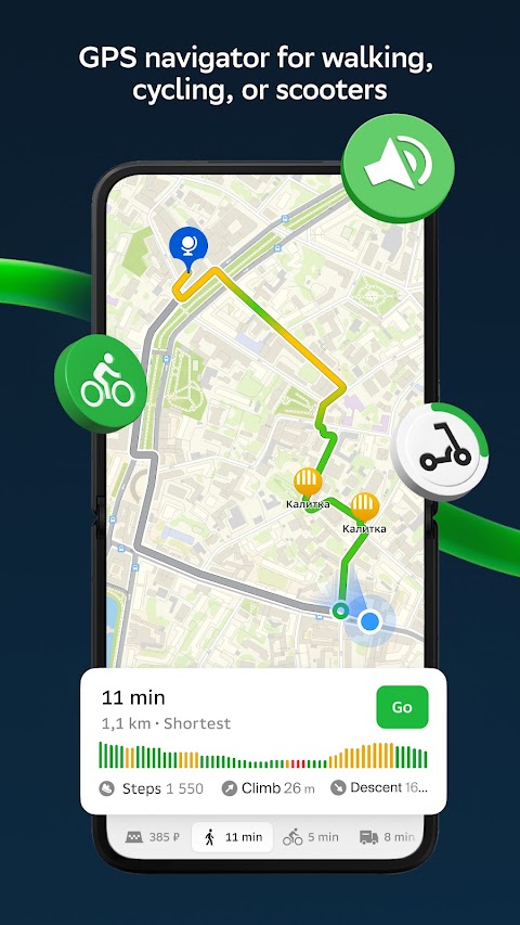
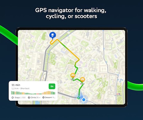
- Walking Routes. Pedestrian navigation paves the way for anywhere you go on foot. Runs in the background and supports voice navigation.
- Truck navigation. The cargo navigator obtains truck routes based on the individual characteristics of the vehicle and cargo.
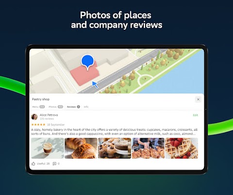
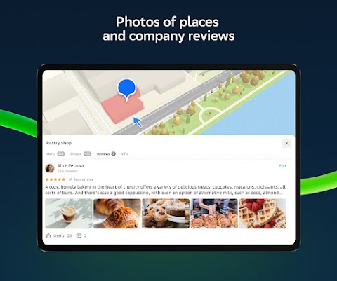
- Detailed directory. 2GIS displays addresses, entrances, and zip codes. 2GIS learns about phone numbers, hours of operation, social networks, websites, and entrance locations. Users add company photos and write reviews.
- Travel Guide. Learn about major attractions, places with Wi-Fi, and more on the map.
2GIS Description:
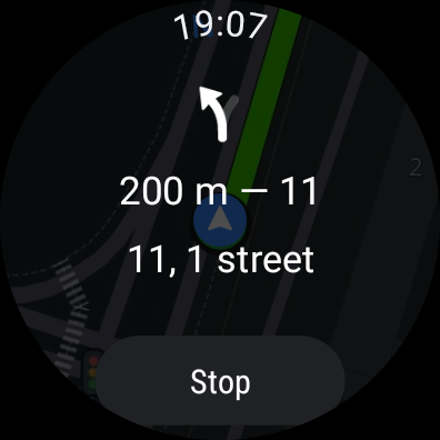
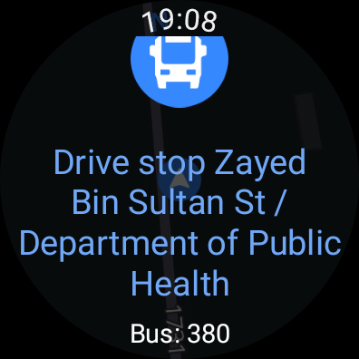
- The app is suitable for Wear OS smartwatches and supports the 2GIS notification package. It is a convenient tool that allows users to use 2GIS walking, cycling or public transportation navigation routes on smartwatch devices.
- View maps, get operational tips, and get vibrating alerts when approaching a turn or destination bus stop.
- The companion launches automatically when you start navigation on your phone. For Wear OS 3.0 or later.
2GIS usable maps:
- UAE Cities:
Dubai, Sharjah, Abu Dhabi, Al Ain, Ajam, Ras al-Khaimah, Fujairah, Umm al-Qaiwain, Diba Fujairah, Khorfiqan, Karba, Salam, etc.
- Russian cities:
Moscow, St. Petersburg, Novosibirsk, Ekaterinburg, Krasnoyarsk, Chelyabinsk, Ufa, Omsk, Kazan, Perm, Nizhny Novgorod, Seregash, etc.
Cities in Belarus, Kazakhstan, Uzbekistan, Azerbaijan and Kyrgyzstan:
Minsk, Pavlodar, Semey, Aktau, Aktobe, Almaty, Nursultan, Bishkek, Karaganda, Kokshetau, Kostanai, Osh, Baku, Tashkent, etc.

