about 2GIS beta
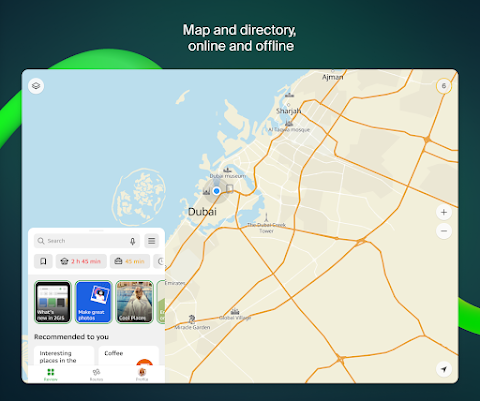
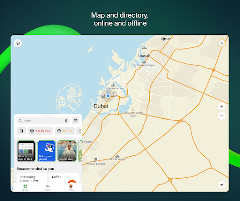
2GIS beta is a more useful navigation software than 2GIS. Relying on the powerful GPS, users can find places and routes accurately. 2gis beta map supports offline download. You can use the offline map to drive, travel, play, and commute. Add your frequently visited locations to your favorites and categorize them accurately. So that the next time you use it the route is displayed at the touch of a button. Our walking navigation, driving when traveling,g and cycling navigation all support voice navigation. We refine your trip information to distance, time, red street lights, etc. to help you get to the designated location quickly.
2GIS beta service content:
- Services, address, and company
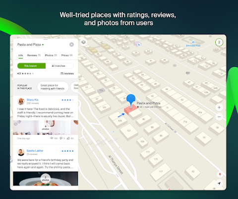
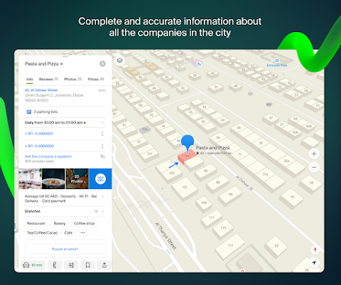
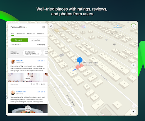
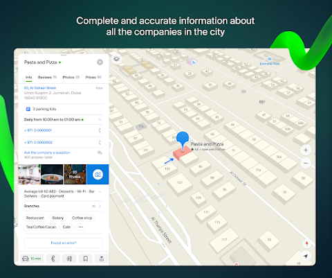
2GIS beta knows which vendors are near your home and where there is an area hospital or post office. Will help you choose a cafe or service center with reviews and photos. Business hours and phone numbers will be displayed.
- Transportation and navigation
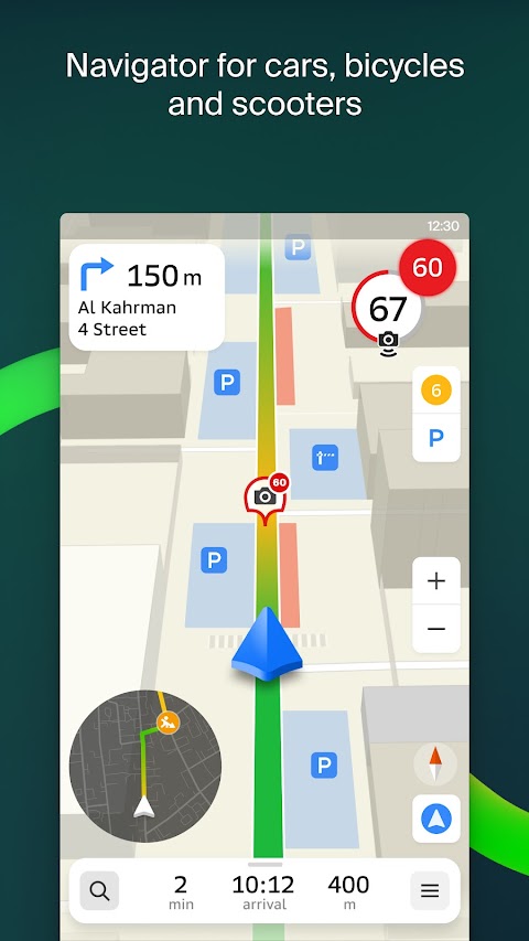
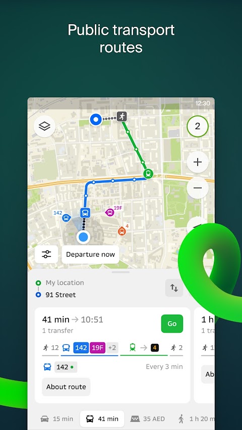
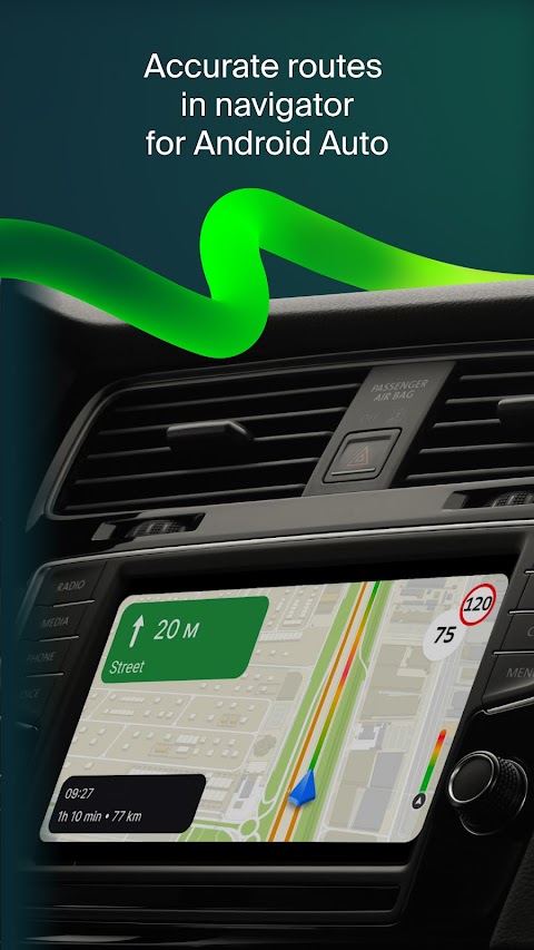
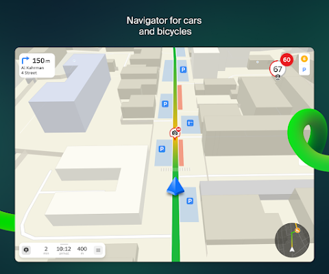
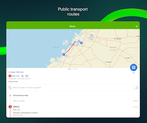
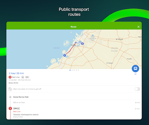
If you are driving, 2GIS beta will guide you along the road and use voice instructions to warn you of maneuvers. Traffic congestion and street blockages will be taken into account. If you deviate from the route, it will update the route. For pedestrians, it will find options for riding buses, subways, trains, cable cars, and river trolleys.
- walking route
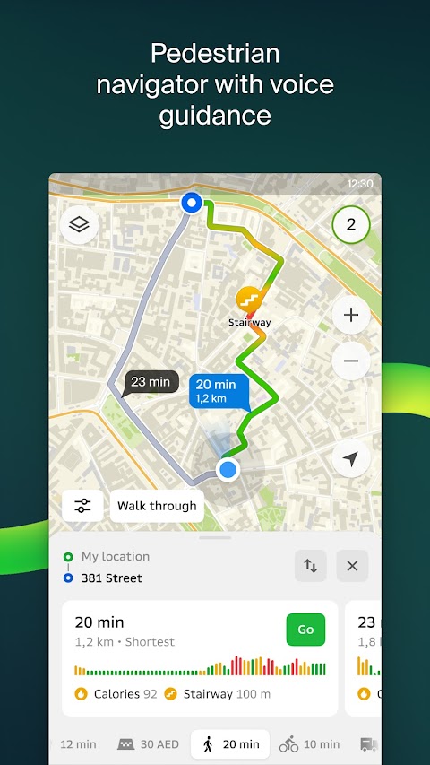
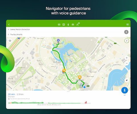
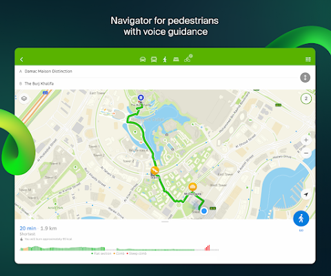
Pedestrian navigation paves the way anywhere you walk. Runs in the background and supports voice navigation.
2GIS beta advantage:
- Friends on the Map
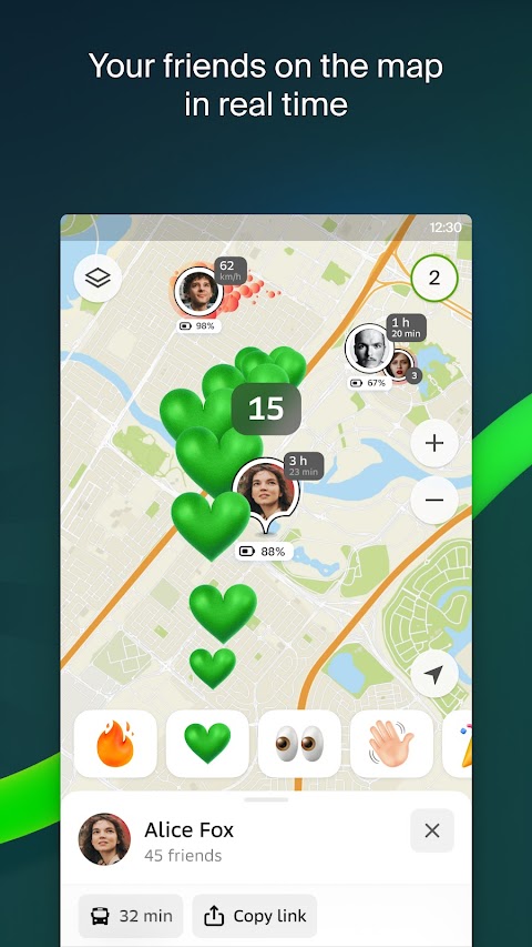
Now you can find your friends and kids on a map! 2GIS beta shows you the real-time location of your friends. You can decide who to add as friends and who will see your location. Manage your visibility in the settings.
- Building entrances
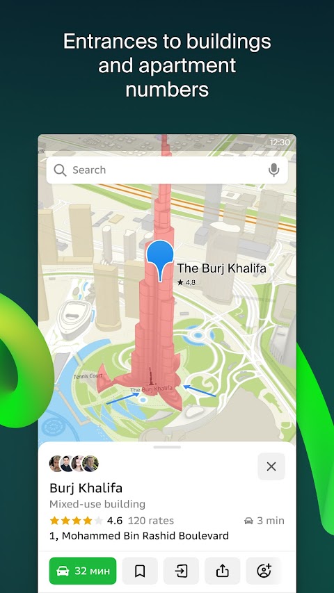
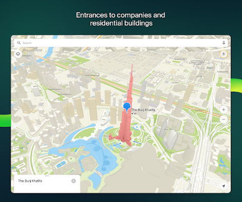
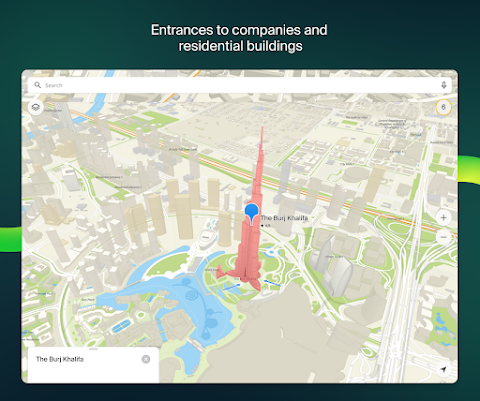
To avoid searching for the Business Center entry you need, look in the 2GIS beta. The app knows how to get to 2.5 million businesses.
- Shopping Center Planning
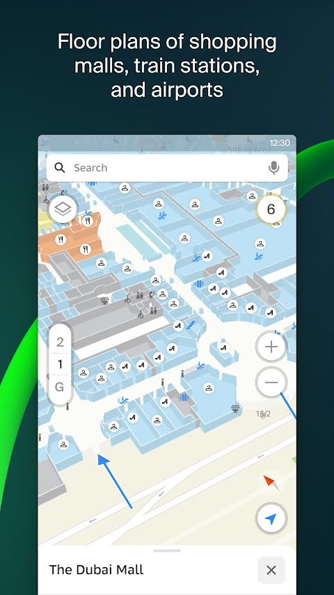
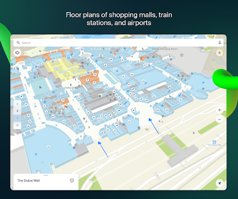
2GIS beta helps to navigate around the shopping center. Shows everything: from stores and cafes to ATMs and restrooms. Find locations in advance to save time.
2GIS beta description:
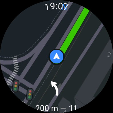
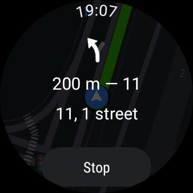
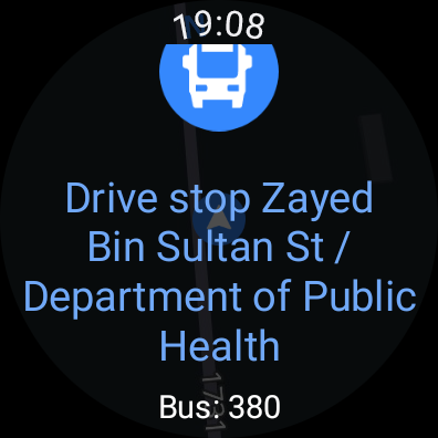
- 2GIS beta notification companion app for Wear OS smartwatches. A handy tool for navigating walking, biking, or taking public transportation from the main 2GIS beta app: view maps, get action alerts, and get vibrating alerts when approaching a turn or destination bus stop. The companion app launches automatically when you start Navigation on your phone. For Wear OS 3.0 or later.
- In the current version of the application it was difficult to display all the information we found about cities and companies. In the new version of 2GIS beta, we have changed the design, made new searches, improved city updates, and merged favorites with 2GIS.ru.
- You will be the first to get the update as bugs and errors have been corrected and you will be contributing to the development of a new version of 2GIS beta that will be installed by millions of users. The beta version runs concurrently and you can switch between the two at any time.

